
Maine · USA
Moosehead Lake
- Region
- Maine, USA
- Regulation zone
- Maine statewide regulations
Species in Moosehead Lake
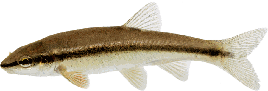 Blacknose Dace
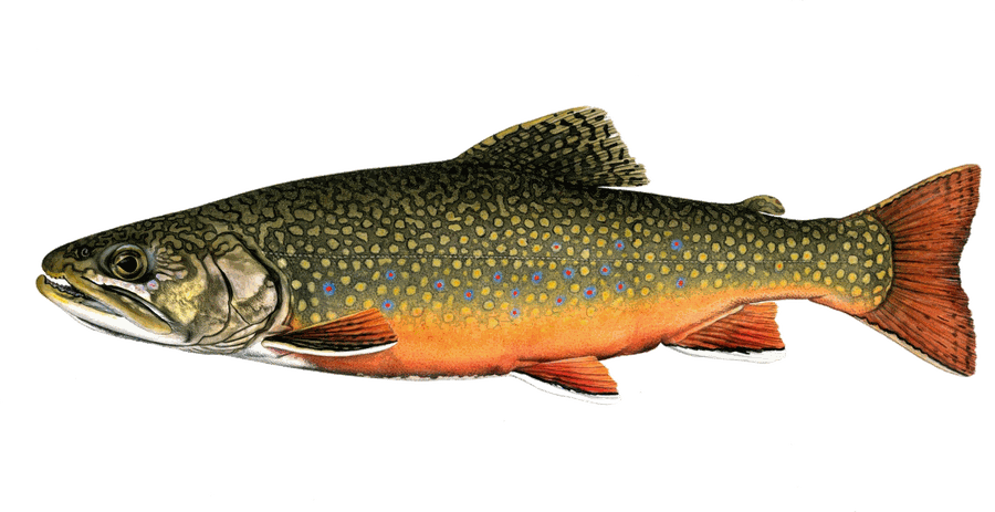 Brook Trout
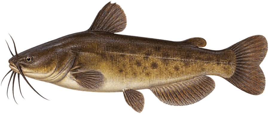 Brown Bullhead
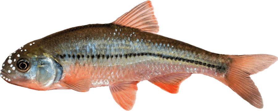 Common Shiner
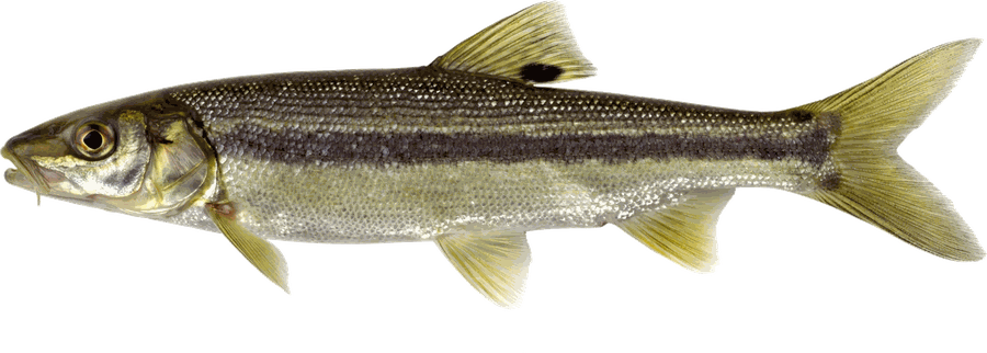 Creek Chub
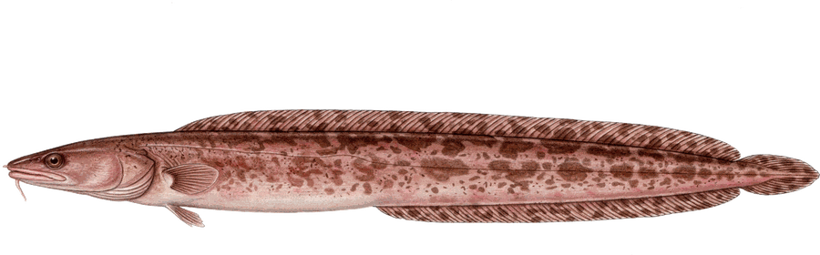 Cusk
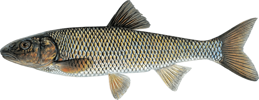 Fallfish
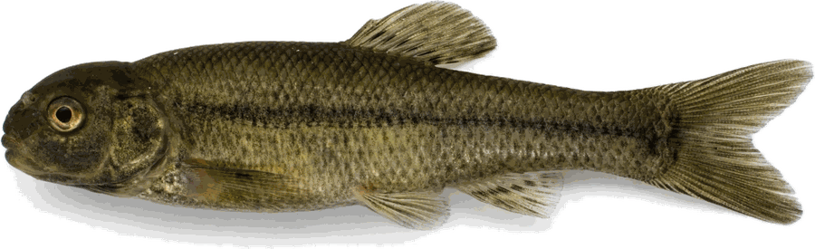 Fathead Minnow
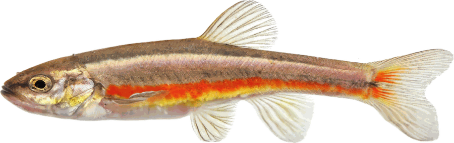 Finescale Dace
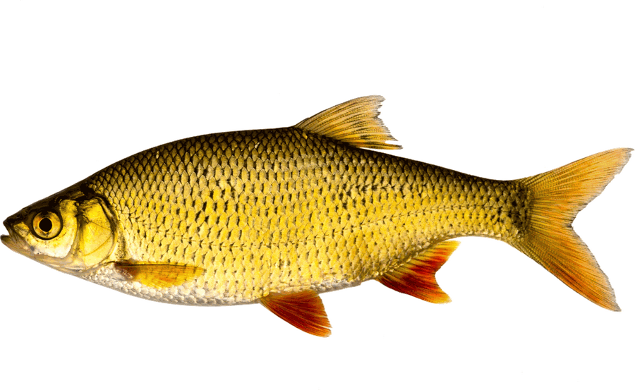 Golden Shiner
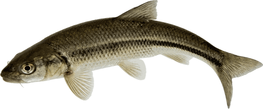 Lake Chub
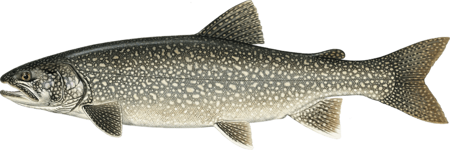 Lake Trout
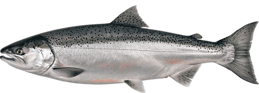 Landlocked Salmon
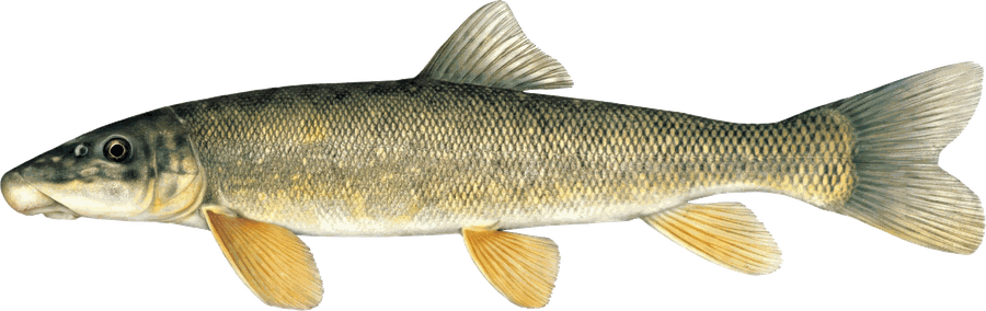 Longnose Sucker
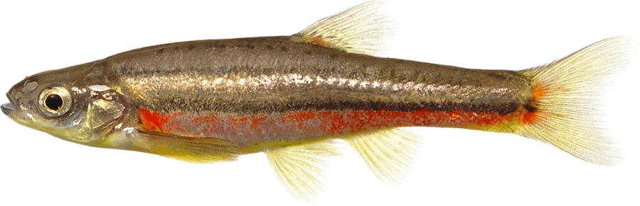 Northern Redbelly Dace
- Pearl Dace
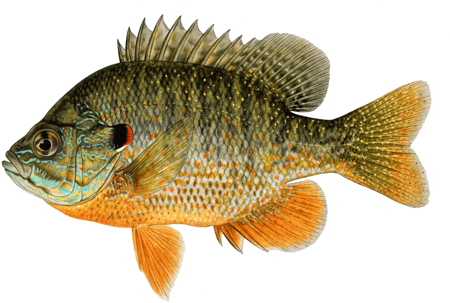 Pumpkinseed
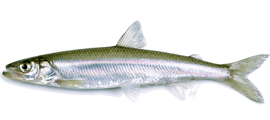 Rainbow Smelt
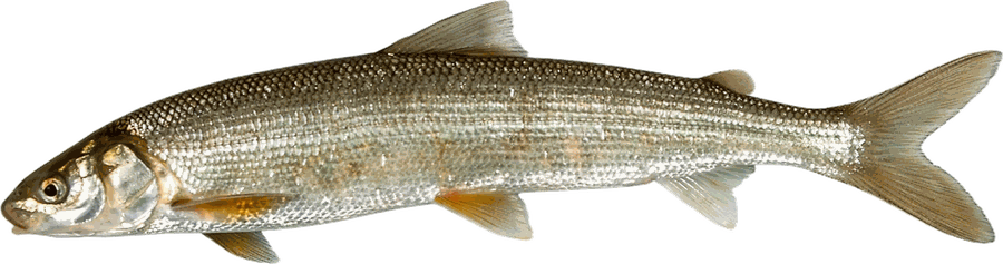 Round Whitefish
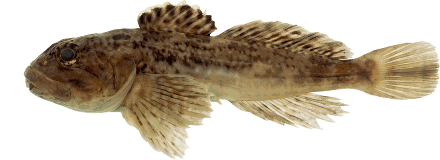 Slimy Sculpin
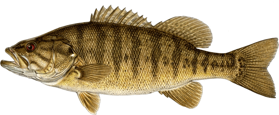 Smallmouth Bass
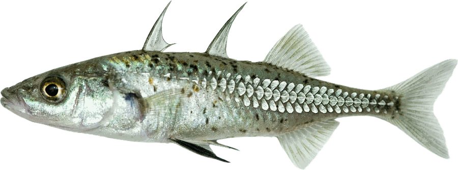 Threespine Stickleback
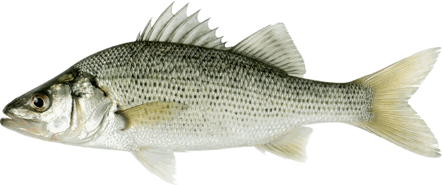 White Perch
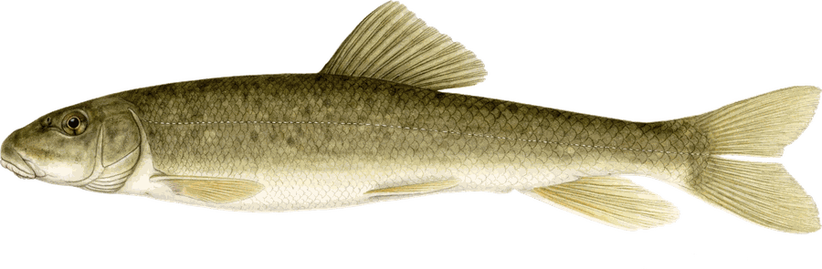 White Sucker
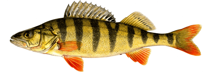 Yellow Perch
Tap a species for Bump Board's full tactics guide.
Seasons & limits — Maine statewide regulations
| Species | Season | Limit | Notes |
|---|---|---|---|
| Brook Trout (includes Splake & Arctic charr) | Lakes & ponds: North Zone Apr 1 - Sep 30; South Zone Jan 1 - Dec 31 | 5 fish (only 2 fish from South Zone lakes & ponds); 6 inches minimum length (lakes & ponds and rivers, streams & brooks) | — |
| Landlocked Salmon | Lakes & ponds: North Zone Apr 1 - Sep 30; South Zone Jan 1 - Dec 31 | 2 fish; lakes & ponds 14 inches minimum; rivers, streams & brooks 14 in min & 25 in max | — |
| Bass (Largemouth & Smallmouth) | Lakes & ponds: North Zone Apr 1 - Sep 30; South Zone Jan 1 - Dec 31 | North Zone: unlimited, no length limit. South Zone: 2 fish, no minimum length, only 1 may exceed 14 inches | — |
| Whitefish | Lakes & ponds: North Zone Apr 1 - Sep 30; South Zone Jan 1 - Dec 31 | 3 fish; no length limit | — |
Always confirm regulations with the official state regulations before fishing — rules change, and waterbody-specific exceptions apply.
Waterbody-specific rules
- MOOSEHEAD LAKE, Greenville, etc. (North Zone): Ice fishing: Moosehead Lake. General fishing laws apply, except: B. S-1, S-11, S-21. All brook trout between 18 and 22 inches must be released alive at once. No minimum length limit on togue. Daily bag limit on togue: 5 fish (only 1 togue may be greater than 18 inches). Closed to the taking of landlocked salmon until February 15: S-22; minimum length limit on landlocked salmon: 18 inches. From January 1 - February 14 and from April 1 - April 30, all landlocked salmon caught while ice fishing must be released alive without removal from the water. From April 1 - April 30: All brook trout caught while ice fishing must be released alive without removal from the water. The following areas are Closed to Ice Fishing (CI.) and closed to open water fishing from January 1 - March 31. - That portion known as Spencer Bay; - That portion from the mouth of Tomhegan Stream to a straight line between 2 red markers, 1 set on the small point of land on the north shore of Tomhegan Cove approximately 1/2 mile from the mouth of Tomhegan Stream, the other set on the small point of land on the south shore of Tomhegan Cove approximately 3/4 mile from the mouth of Tomhegan Stream; - That portion from the mouth of Moose Brook to a straight line between 2 red markers, 1 set at the south shore of Moose Brook Cove, the other on the north shore of Moose Brook Cove on a line passing inside the islands in Moose Brook Cove; - That portion from the mouth of Socatean Stream to a straight line between 2 red markers, one set on the northerly shore of Socatean Bay at the camp site known as the Ledges, the other set on the westerly shore of Socatean Bay on a line passing just outside Wiggin’s Island; - That portion from the mouth of Williams Brook in Big W Township to a straight line between 2 red markers, one set on the land of Hermon Brautigan on the south shore of Williams Cove and the other in a northeasterly direction on the opposite shore, Piscataquis County; - That portion inside of the red markers located at the mouth of Moose River; - That portion of Lily Bay with a west border running in a straight line between 2 red posts, one located on the Lily Bay State Park boundary and the other on Sugar Island to the west of Dollar Island. The east boundary in a straight line between 2 red posts, one located just south of Porcupine Point on Sugar Island and the other on Laker Point near the mouth of Mathews Cove on a line running south of Two-Mile Island. Open water fishing: Moosehead Lake and Tributaries (Upstream to red markers or the first rail or road crossing). General fishing laws apply, except: S-1, S-11, S-21, S-22. All brook trout between 18 and 22 inches must be released alive at once. No minimum length limit on togue. Daily bag limit on togue: 5 fish (only 1 togue may be greater than 18 inches). For additional regulations and exceptions to the above, see entries for the following: Kennebec River, East and West Outlets; Moose River; Roach River, Lily Bay Brook and Moose Brook; and Socatean Stream.
More Maine lakes
Species: Maine state fisheries lake records, via the Bump Board dataset.